#TsunamiDay2016
November 5, 2016 is celebrated as the first World Tsunami Awareness Day. A special Facebook post by NAS member and geologist Brian Atwater on the NAS Facebook page to commemorate the day. Below is the full text of the post along with resources for further reading.
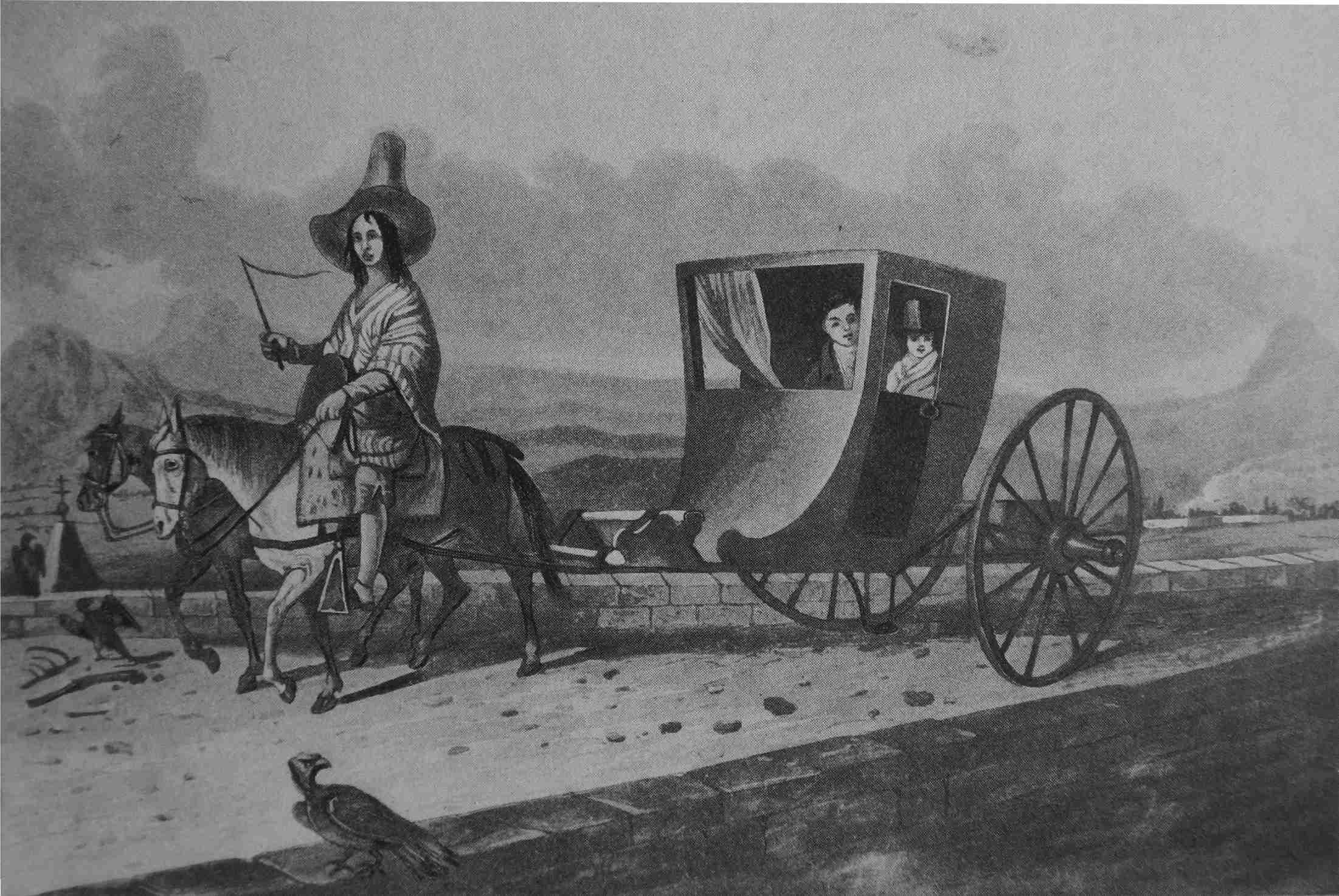 The British travel writer Maria Graham, at right in this self-portrait [1], made pioneering observations of uplift that accompanied an earthquake. Most tsunamis are set off by sudden uplift of the ocean floor, and of the water above it. |
|

What coastal places are safe during a tsunami? Guidance for many U.S. shores can be found on maps that show how far inland and how far uphill a tsunami is likely to run. The maps are usually based on computer simulations that begin with sudden uplift of the ocean floor. The simulations harken back to observations that were made and defended by a scientific pioneer who preceded Robert Fitzroy and Charles Darwin in demonstrating that uplift can accompany an earthquake.
The travel writer Maria Graham was on hand in 1822 for a Chilean earthquake during which the seashore near Valparaíso was raised. Reporting to the London Geological Society two years later, she described “oysters, muscles, and other shells adhering to the rocks on which they grew, the fish being all dead, and exhaling most offensive effluvia.” She also noted evidence for uplift from previous earthquakes.
George Bellas Greenough, in London, thought uplift impossible except at volcanoes. As the society’s president in 1834 he publicly accused Graham of delusion and deceit.
Graham called the attack "uncourteous." She elaborated on evidence for uplift, and she professed indifference as to "whether Mr. Greenough ascribes this to a partial elevation of the coast of Chile, or to a change of level of the whole mighty Pacific Ocean, which must have extended to Polynesia, India and China." "The fact is," Graham declared, "there was a change in the relative position of the land and water..." And "to save circumlocution” she would “use the word, raised, or elevated, in describing that change."
Sources
The exchange in London between Maria Graham (1785–1842) and George Bellas Greenough (1778–1855) was reproduced in an 1835 issue of the American Journal of Science and Arts, in New Haven [3]. A transcript is available from a website on Graham and her work [4].
Graham has been viewed as a disinterested observer whose professed indifference to Greenough’s theory of uplift reflects a meager background in Earth science. In this view the main story is Greenough attacking Graham to get at Charles Lyell, who in his “Principles of Geology” had adopted her Chilean findings—and who did not rise to her defense [5].
Recent commentary finds Graham more engaged in natural history that her riposte to Greenough may suggest. Graham, in this view, recognized the Chilean earthquake as more than a curiosity, surveyed its effects carefully, and had the drive and talent to report on them, through an intermediary, to the male-only Geological Society in London [6].
The 1960 Chilean earthquake and 1964 Alaskan earthquake were accompanied by uplift mainly offshore and subsidence mainly onshore [7,8]. This deformation pattern serves as the initial condition in tsunami simulations in Cascadia [9], including those used in design of the rooftop refuge recently completed in Westport, Washington [10,11], and in tsunami evacuation maps for the coasts of Oregon and Washington [12].
- Drawing credit: Graham, Maria. 1824. Journal of a Residence in Chile, during the Year 1822; and a Voyage from Chile to Brazil, in 1823. London. Printed for Longman, Hurst, Rees, Orme & Brown, and John Murray. 512 p
- Image courtesy Brian Atwater. Atwater, B.F., Musumi-Rokkaku, S., Satake, K., Tsuji, Y., Ueda, K., and Yamaguchi, D.K., 2005, The orphan tsunami of 1700—Japanese clues to a parent earthquake in North America: U.S. Geological Survey Professional Paper 1707, 133 p., http://pubs.usgs.gov/pp/pp1707/ , second edition, 135 p., published 2015 by University of Washington Press.
- Graham, M., and Greenough, G.B., 1835, On the reality of the rise of the coast of Chili in 1822: American Journal of Science and Arts, v. 28, p. 236-247.
- Thompson, C., Maria Graham project: accessed June 21, 2016, at http://www.ntu.ac.uk/apps/research/groups/2/home.aspx/project/154085/overview/maria_graham_project.
- Kölbl-Ebert, M., 1999, Observing orogeny—Maria Graham’s account of the earthquake in Chile in 1822: Episodes, v. 22, no. 1, p. 36-40.
- Thompson, C., 2012, Earthquakes and petticoats: Maria Graham, geology, and early nineteenth-century “polite science”: Journal of Victorian Culture, v. 17, no. 3, p. 329-346, doi:DOI:10.1080/13555502.2012.686683.
- Plafker, G., 1969, Tectonics of the March 27, 1964, Alaska earthquake: U.S. Geological Survey Professional Paper 543-I, 74 p., http://pubs.usgs.gov/pp/0543i/index.html.
- Plafker, G., and Savage, J.C., 1970, Mechanism of the Chilean earthquakes of May 21 and 22, 1960: Geological Society of America Bulletin, v. 81, no. 4, p. 1001-1030, doi:10.1130/0016-7606(1970)81[1001:MOTCEO]2.0.CO;2.
- Priest, G.R., Myers, E., Baptista, A.M., Fleuck, P., Wang, K., and Peterson, C.D., 2000, Source simulation for tsunamis; lessons learned from fault rupture modeling of the Cascadia subduction zone, North America: Science of Tsunami Hazards, v. 18, no. 2, p. 77-106, library.lanl.gov/tsunami/ts182.pdf.
- González, F., LeVeque, R., and Adams, L., 2013, Tsunami hazard assessment of the Ocosta School site in Westport, WA: University of Washington, Department of Earth and Space Sciences, Faculty Papers [3], 15 p., https://digital.lib.washington.edu/researchworks/handle/1773/24054.
- McNutt, M., 2016, Hazards without disasters: Science, v. 353, no. 6296, p. 201, doi:10.1126/science.aah4247, http://science.sciencemag.org/content/353/6296/201.abstracthttp://science.sciencemag.org/content/353/6296/201.abstract.
- Northwest Association of Networked Ocean Observing Systems, version 5.0, 2016, Tsunami evacuation zones: accessed October 23, 2016, at http://nvs.nanoos.org/TsunamiEvac.
Brian Atwater
Scientist emeritus
U.S. Geological Survey and
Affiliate Professor
University of Washington
You can read more about Dr. Atwater’s work via his NAS member profile.
