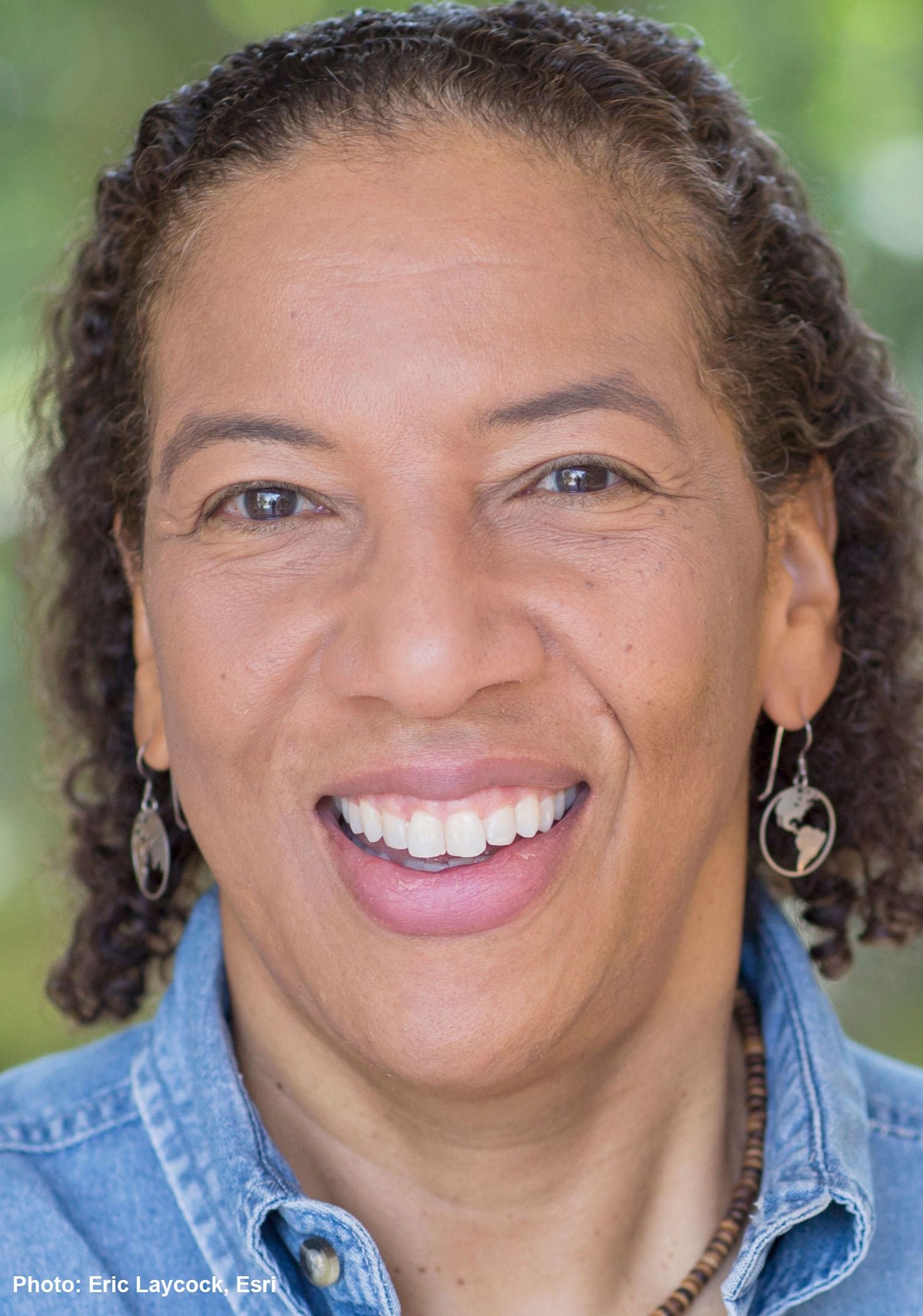
Biosketch
Dawn Wright received an individual interdisciplinary doctorate in physical geography and marine geology from UCSB in 1994. After a postdoc at NOAA’s Pacific Marine Environmental Lab, in Newport, Oregon, and 17 years as a professor of geography and oceanography at Oregon State University, she was appointed Chief Scientist of the Environmental Systems Research Institute (aka “Esri”), a world-leading geographic information system (GIS) software, services and spatial data science R&D company in 2011. She maintains a courtesy faculty appointment within the College of Earth, Ocean, and Atmospheric Sciences at Oregon State. Over the course of her career, Dawn Wright has participated in over 20 oceanographic research expeditions worldwide and authored or co-authored more than 200 articles and 13 books. Her service to the National Academy thus far includes the Ocean Studies Board, two standing committees, and three study committees. She is also an elected member of the National Academy of Engineering, the American Association of Arts & Sciences and a fellow of the American Association of Geographers, the American Association for the Advancement of Science, the Geological Society of America, and The Oceanography Society, as well as a former Oregon Professor of the Year.
Research Interests
Dawn Wright's research has spanned many fields ranging from marine geology, geophysics and physical geography to environmental informatics, and geographic information science (also known as spatial data science). Her work has had significant impact on the use of geographic information systems (GIS) technology on a variety of seafloor mapping, environmental conservation, and regional/global terrestrial mapping projects, as well as the development of integrated data management, interoperability, and infrastructure across conservation science. She published the first studies illustrating the broad implementation and needed evolution of GIS, image processing, and data modeling for deep ocean and coastal environments, including the development of new methodologies for the understanding of deepsea fracturing, faulting, and volcano-tectonic-hydrothermal cycling at fast-spreading mid-ocean ridges, as well as problems of coastal resource inventory, planning, and management. Her current research also provides important retrospectives and perspectives on emerging issues in spatial data science such as cyberinfrastructures for data management, harmonization and integration of data, and approaches for international collaborative data sharing, as well as the communication of science that promotes engagement and innovation in various policy-making and industry sectors.
Membership Type
Member
Election Year
2021
Primary Section
Section 64: Human Environmental Sciences
Secondary Section
Section 34: Computer and Information Sciences
